
FCCInfo.com
A Service of Cavell, Mertz & Associates, Inc.
(855) FCC-INFO
|
|
KAMK-LD from 01/01/1998 KAMK-LD from 01/03/1991 |
|
|
||||||||||||||||
|
|
Status: License Application Accepted: 10/30/2018 License Expires: 02/01/2023 File Number: -0000063188 FCC Website Links: LMS Facility Details This Application Other KAMK-LD Applications Including Superseded Applications Mailing Address Correspondence for KAMK-LD Correspondence related to application -0000063188 Service Contour - Open Street Map or USGS Map (43 dBu) Service Contour - KML / Google Earth (43 dBu) Rabbit Ears Info Search for KAMK-LD Site Location: 44-00-09.5 N 123-06-48.6 W (NAD 83) Site Location: 44-00-10.1 N 123-06-44.3 W (Converted to NAD 27) ERP: 0.5 kW Polarization: Horizontally polarized R/C AGL: 107 m (351 ft.) R/C AMSL: 494.1 m (1621 ft.) Emission Mask: Stringent Site Elevation: 387.1 m. (1270 ft.) Height Overall*: 124.4 m (408 ft.) (* As Filed In This Application, may differ from ASR Data, Below.) Directional Antenna - Antenna Make/Model: Scala CL-26 Antenna ID: 1004284 Polarization: Horizontally polarized | ||||||||||||||||||
| Antenna Data for Antenna Id: 1004284 KAMK-LD LD File: -0000063188 Scala - CL-26 Service: LD Standard Pattern: N Pattern and Field Values Include a 31° Clockwise Rotation | 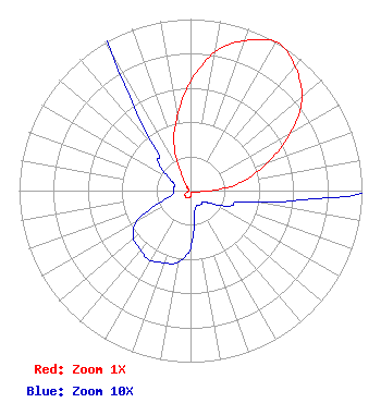 | ||||||||||||||||||
| Azimuth | Ratio | Azimuth | Ratio | Azimuth | Ratio | Azimuth | Ratio | ||||||||||||
| 1 | 0.655 | 11 | 0.835 | 21 | 0.940 | 31 | 1.000 | ||||||||||||
| 41 | 0.940 | 51 | 0.835 | 61 | 0.655 | 71 | 0.460 | ||||||||||||
| 81 | 0.295 | 91 | 0.105 | 101 | 0.035 | 111 | 0.025 | ||||||||||||
| 121 | 0.015 | 131 | 0.010 | 141 | 0.010 | 151 | 0.010 | ||||||||||||
| 161 | 0.010 | 171 | 0.015 | 181 | 0.035 | 191 | 0.043 | ||||||||||||
| 201 | 0.045 | 211 | 0.047 | 221 | 0.045 | 231 | 0.043 | ||||||||||||
| 241 | 0.035 | 251 | 0.015 | 261 | 0.010 | 271 | 0.010 | ||||||||||||
| 281 | 0.010 | 291 | 0.010 | 301 | 0.015 | 311 | 0.025 | ||||||||||||
| 321 | 0.035 | 331 | 0.105 | 341 | 0.295 | 351 | 0.460 | ||||||||||||
Structure Registration Number 1041578 Structure Type: GTOWER Registered To: VB-S1 Assets, LLC Structure Address: 4565 Blanton Rd (us-or-5012) Eugene, OR County Name: Lane County ASR Issued: 01/30/2018 Date Built: 01/01/1989 Site Elevation: 387.1 m (1270 ft.) Structure Height: 124.4 m (408 ft.) Height Overall: 124.4 m (408 ft.) Overall Height AMSL: 511.5 m (1678 ft.) FAA Determination: 03/14/2017 FAA Study #: 2017-ANM-284-OE FAA Circular #: 70/7460-1L Paint & Light FAA Chapters: 4, 8, 12 Removed expiration date from determination. Scenario 1./jjs/case#635066 44-00-09.5 N 123-06-48.6 W (NAD 83) 44-00-10.1 N 123-06-44.3 W (Converted to NAD 27) |
Grants Pass, OR 97528 Phone: 541-474-3089 Not-for-Profit | Title: Executive Director Date: 10/30/2018 Application Certifier BETTER LIFE TELEVISION, INC. Better Life Television, Inc. Grants Pass, OR 97528 Applicant Donald E Martin Donald E. Martin, P.c. Donald E. Martin P.c. Falls Church, VA 22041 Douglas Lee Vernier Doug Vernier, Telecommunications Consultants Doug Vernier, Telecommunications Consultants Cedar Falls, IA 50613 Technical Consultant | |||||||||||||||||