
FCCInfo.com
A Service of Cavell, Mertz & Associates, Inc.
(855) FCC-INFO
|
|
K33OB-D from 06/17/2004 K33OB-D from 06/04/2004 K33OB-D from 09/03/2003 |
|
|
||||||||||||||||
|
|
Status: License Application Accepted: 09/28/2020 License Expires: 10/03/2022 File Number: -0000122546 FCC Website Links: LMS Facility Details This Application Other K33OB-D Applications Including Superseded Applications Mailing Address Correspondence for K33OB-D Correspondence related to application -0000122546 Service Contour - Open Street Map or USGS Map (51 dBu) Service Contour - KML / Google Earth (51 dBu) Rabbit Ears Info Search for K33OB-D Site Location: 33-23-03.3 N 104-35-15.9 W (NAD 83) Site Location: 33-23-02.9 N 104-35-14.0 W (Converted to NAD 27) ERP: 2 kW Polarization: Horizontally polarized R/C AGL: 35.1 m (115 ft.) R/C AMSL: 1152.2 m (3780 ft.) Emission Mask: Full Service Site Elevation: 1117.1 m. (3665 ft.) Height Overall*: 93.3 m (306 ft.) (* As Filed In This Application, may differ from ASR Data, Below.) Directional Antenna - Antenna Make/Model: Scala PR-TV Antenna ID: 1007379 Polarization: Horizontally polarized | ||||||||||||||||||
| Antenna Data for Antenna Id: 1007379 K33OB-D LD File: -0000122546 Scala - PR-TV Service: LD Standard Pattern: N Pattern and Field Values Include a 80° Clockwise Rotation | 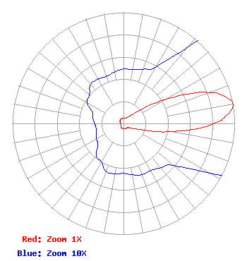 | ||||||||||||||||||
| Azimuth | Ratio | Azimuth | Ratio | Azimuth | Ratio | Azimuth | Ratio | ||||||||||||
| 0 | 0.049 | 10 | 0.049 | 20 | 0.052 | 30 | 0.059 | ||||||||||||
| 40 | 0.090 | 50 | 0.165 | 60 | 0.430 | 70 | 0.808 | ||||||||||||
| 75 | 0.942 | 80 | 1.000 | 85 | 0.942 | 90 | 0.808 | ||||||||||||
| 100 | 0.430 | 110 | 0.165 | 120 | 0.090 | 130 | 0.059 | ||||||||||||
| 140 | 0.052 | 150 | 0.049 | 160 | 0.049 | 170 | 0.047 | ||||||||||||
| 180 | 0.045 | 190 | 0.046 | 200 | 0.046 | 210 | 0.040 | ||||||||||||
| 220 | 0.038 | 230 | 0.030 | 240 | 0.028 | 250 | 0.026 | ||||||||||||
| 260 | 0.025 | 270 | 0.026 | 280 | 0.028 | 290 | 0.030 | ||||||||||||
| 300 | 0.038 | 310 | 0.040 | 320 | 0.046 | 330 | 0.046 | ||||||||||||
| 340 | 0.045 | 350 | 0.047 | ||||||||||||||||
Structure Registration Number 1230123 Structure Type: GTOWER Registered To: American Towers LLC Structure Address: 4509 W. Summit (311537) Roswell, NM County Name: Chaves County ASR Issued: 06/28/2023 Date Built: 12/05/2001 Site Elevation: 1117.1 m (3665 ft.) Structure Height: 91.4 m (300 ft.) Height Overall: 93.3 m (306 ft.) Overall Height AMSL: 1210.4 m (3971 ft.) FAA Determination: 03/22/2023 FAA Study #: 2022-ASW-5714-OE FAA Circular #: 70/7460-1L Paint & Light FAA Chapters: 4, 8, 12 PRIOR STUDY 2022-ASW-3573-OE 33-23-03.3 N 104-35-15.9 W (NAD 83) 33-23-02.9 N 104-35-14.0 W (Converted to NAD 27) |
Chattanooga, TN 37401 Phone: 423-468-5100 Limited Liability Company | Title: Coo Date: 09/28/2020 Application Certifier DIGITAL NETWORKS-SOUTHWEST, LLC Digital Networks-southwest, Llc Chattanooga, TN 37401 Applicant Jeremy D Ruck, PE Jeremy Ruck & Associates, Inc. Canton, IL 61520 Consulting Engineer Aaron P Shainis Shainis & Peltzman, Chartered 1850 M St. Nw Suite 240 Washington, DC 20036 FCC Legal Counsel | |||||||||||||||||