|
|
Antenna Structure Registration 1000621 |
 |
Registration Info | Registration Number: 1000621 |
| File Number: A1379285 |
| FAA Study: 88-AGL-71-OE |
| Status: Constructed |
| Date Constructed: 08/08/1989 |
| NEPA: N |
Structure Info
|
| Structure Coordinates: 44-51-25.0 N 83-32-34.0 W (NAD 83) |
| Structure Coordinates: 44-51-25.0 N 83-32-34.1 W (Converted to NAD 27) |
| Structure Address: .8 Mi W Of Hubert And Lytle Rd Int |
| Structure City: Hubbard Lake, MI |
| Structure County: Alcona County |
| Painting & Lighting Info |
FAA Circular #: 70/7460-1G |
FAA Chapters: 3, 4, 5, 9 |
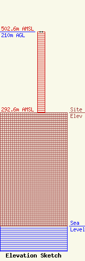
| Elevation Info |
Site Elevation: 292.6 meters (960 ft) |
| Height of Structure: 210 meters (689 feet) |
| Overall Height Above Ground: 210 meters (689 feet) |
| Overall Height Above Mean Sea Level: 502.6 meters (1649 feet) |
| Owner Info | WATZ RADIO INC
314 E FRONT ST
TRAVERSE CITY, MI 49684
(231) 947-7675
chrisw@wtcmradio.com |
| Contact Info | WATZ RADIO INC
314 E. FRONT ST.
Traverse City, MI 49684
Eric Send
(231) 947-7675
erics@wtcmradio.com |
