|
|
Antenna Structure Registration 1027715 |
 |
Registration Info | Registration Number: 1027715 |
| File Number: A1085650 |
| FAA Study: 2017-AGL-7595-OE |
| FAA Issue Date: 06/01/2017 |
| Status: Constructed |
| Date Constructed: 04/24/2017 |
| NEPA: N |
Structure Info
| Structure Type: GTOWER |
| Structure Coordinates: 41-14-55.8 N 82-54-45.9 W (NAD 83) |
| Structure Coordinates: 41-14-55.6 N 82-54-46.2 W (Converted to NAD 27) |
| Structure Address: 13318 E Cr 62 Hwy |
| Structure City: Bellevue, OH |
| Structure County: Seneca County |
| Painting & Lighting Info |
FAA Circular #: 70/7460-1L |
FAA Chapters: 3, 4, 5, 12 |
Remarks: PRIOR STUDY 2004-AGL-7744-OE |
| Elevation Info |
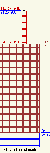
Site Elevation: 240.8 meters (790 ft) |
| Height of Structure: 90.3 meters (296 feet) |
| Overall Height Above Ground: 91.1 meters (299 feet) |
| Overall Height Above Mean Sea Level: 331.9 meters (1089 feet) |
| Owner Info | BAS Broadcasting, Inc
1281 N River Rd
Fremont, OH 43420-9760
(419) 332-8218
TomKlein@BASbroadcasting.com |
| Contact Info | BAS Broadcasting, Inc
1281 N River Rd
Fremont, OH 43420-9760
Tom Gardull
(419) 332-8218
TomGardull@BASbroadcasting.com |
