|
|
Antenna Structure Registration 1038103 |
 |
Registration Info | Registration Number: 1038103 |
| File Number: A0044900 |
| Status: Constructed |
| Date Constructed: 01/01/1961 |
| NEPA: N |
Structure Info
| Structure Type: TOWER |
| Structure Coordinates: 34-47-56.0 N 92-30-6.0 W (NAD 83) |
| Structure Coordinates: 34-47-55.7 N 92-30-05.4 W (Converted to NAD 27) |
| Structure Address: Shinall Mountain 10 Mi W |
| Structure City: Little Rock, AR |
| Structure County: Pulaski County |
| Painting & Lighting Info |
FCC Paragraph(s): None |
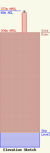
| Elevation Info |
Site Elevation: 306 meters (1004 ft) |
| Height of Structure: 60.9 meters (200 feet) |
| Overall Height Above Ground: 66 meters (217 feet) |
| Overall Height Above Mean Sea Level: 372 meters (1220 feet) |
| Owner Info | ARKANSAS, STATE OF
2261
LITTLE ROCK, AR 72203
(501) 569-2300
|
