|
|
Antenna Structure Registration 1060989 |
 |
Registration Info | Registration Number: 1060989 |
| File Number: A0393948 |
| FAA Study: 98-AWP-2321-OE |
| FAA Issue Date: 08/06/1998 |
| Status: Cancelled |
| FAA EMI: N |
| NEPA: N |
Structure Info
| Structure Type: TOWER |
| Structure Coordinates: 34-12-48.0 N 118-3-44.0 W (NAD 83) |
| Structure Coordinates: 34-12-48.0 N 118-03-40.8 W (Converted to NAD 27) |
| Structure Address: Mount Harvard Communications Site |
| Structure City: Los Angeles, CA |
| Structure County: Los Angeles County |
| Painting & Lighting Info |
FAA Circular #: 70/7460-1J |
FAA Chapters: 3, 4, 5, 13 |
| Elevation Info |
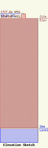
Site Elevation: 1658.4 meters (5441 ft) |
| Height of Structure: 69.2 meters (227 feet) |
| Overall Height Above Ground: 69.2 meters (227 feet) |
| Overall Height Above Mean Sea Level: 1727.6 meters (5668 feet) |
| Owner Info | KRCA LICENSE CORP
1813 VICTORY PL
BURBANK, CA 91504
(818) 558-4200
|
