|
|
Antenna Structure Registration 1258337 |
 |
Registration Info | Registration Number: 1258337 |
| File Number: A0548682 |
| FAA Study: 2007-ANM-192-OE |
| FAA Issue Date: 04/16/2010 |
| Status: Granted |
| NEPA: N |
Structure Info
| Structure Type: TOWER |
| Structure Coordinates: 43-24-8.5 N 116-54-12.5 W (NAD 83) |
| Structure Coordinates: 43-24-08.9 N 116-54-09.0 W (Converted to NAD 27) |
| Structure Address: 11.04 Miles(17.77km) Sw Of Marsing, Id On A Bearing Of 206 Degrees True |
| Structure City: Marsing, ID |
| Structure County: Owyhee County |
| Painting & Lighting Info |
FAA Circular #: 70/7460-1K |
FAA Chapters: 4, 8, 12 |
Remarks: Unterminated this study and removed the Termination reasons. |
Remarks: Removed expiration date from determination. Scenario 1./jjs/case#635066 |
Remarks: Unterminated this study and removed the Termination reasons. |
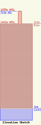
| Elevation Info |
Site Elevation: 1442 meters (4731 ft) |
| Height of Structure: 213 meters (699 feet) |
| Overall Height Above Ground: 213 meters (699 feet) |
| Overall Height Above Mean Sea Level: 1655 meters (5430 feet) |
| Owner Info | BRUNDAGE MOUNTAIN AIR, INC.
P.O. BOX 813
MCCALL, ID 83638
(480) 991-0575
MCRADIO@FRONTIERNET.NET |
| Contact Info | KLEIN BROADCAST ENGINEERING, L.L.C.
5529 EAST SAPPHIRE LANE
PARADISE VALLEY, AZ 85253
ELLIOTT KLEIN
(480) 991-0575
ELLIOTT@KLEINBROADCAST.COM |
