|
|
Antenna Structure Registration 1265983 |
 |
Registration Info | Registration Number: 1265983 |
| File Number: A0743763 |
| FAA Study: 2011-ANM-2045-OE |
| FAA Issue Date: 10/13/2011 |
| Status: Constructed |
| Date Constructed: 12/01/2011 |
| FAA EMI: N |
| NEPA: N |
Structure Info
| Structure Type: TOWER |
| Structure Coordinates: 47-27-51.8 N 111-21-21.1 W (NAD 83) |
| Structure Coordinates: 47-27-52.0 N 111-21-18.2 W (Converted to NAD 27) |
| Structure Address: 3001 47th Avenue Sw |
| Structure City: Great Falls, MT |
| Structure County: Cascade County |
| Painting & Lighting Info |
FAA Chapters: NONE |
Remarks: PRIOR STUDY 2008-ANM-1232-OE |
| Elevation Info |
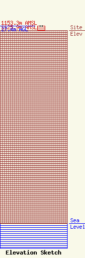
Site Elevation: 1125.9 meters (3694 ft) |
| Height of Structure: 27.4 meters (90 feet) |
| Overall Height Above Ground: 27.4 meters (90 feet) |
| Overall Height Above Mean Sea Level: 1153.3 meters (3784 feet) |
| K25LM-D C/R Height Above Mean Sea Level: 1149 meters (3770 ft)
|
| Owner Info | Hi-Line Radio Fellowship, Inc.
2426
Havre, MT 59501
(406) 265-5845
ynop@bresnan.net |
| Contact Info | The Montana Radio Company, LLC
100 W Lyndale Ave Suite B
Helena, MT 59601
Kevin Terry
(406) 438-6353
kevin@montanaradio.com |
