|
W299BH Channel: 299D 107.7 MHz
Marshallton, Delaware
Service: FX - A translator or application for a translator.
Facility ID: 142393
FRN: 0003270212
Fac. Service: FX
Programming Delivery Method: Unspecified
Status: LIC
Application Accepted: 05/11/2007
Application Granted: 06/12/2007
File Number: BLFT-20070511AAX
License Expires: 08/01/2030
Prefix Type: This is a license for a translator
Application Type: License To Cover
FCC Website Links:
LMS Facility Details
This Application
Other W299BH Applications
Including Superseded Applications
Service Contour - Open Street Map or USGS Map (60 dBu)
Service Contour - KML / Google Earth (60 dBu)
Class: D, A Noncommercial educational operating with no more than 10W
Site Location: 39-42-31.0 N 75-33-58.0 W (NAD 83)
Site Location: 39-42-30.6 N 75-33-59.3 W (Converted to NAD 27)
Effective Radiated Power: 0.25 kW
Transmitter Output Power: 0.245 kW
Antenna Center AMSL: 74 m (243 ft.)
Antenna Center HAG: 55 m (180 ft.)
Site Elevation: 19 m. (62 ft.)
Height Overall*: 73 m (240 ft.)
(* As Filed In This Application, may differ from ASR Data, Below.)
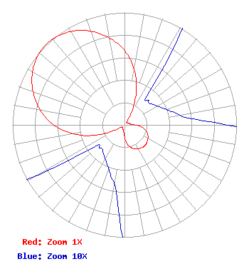
Directional Antenna
Antenna Make/Model: Scala CA2-CP
Antenna ID: 16125
Polarization:
| Primary Station |
| WRTI(FM) |
Ch. 211 | Philadelphia, Pennsylvania |
|
Structure Information
Structure Registration Number 1060184
[ASR Heights Differ from W299BH Application]
Structure Type: TOWER
Registered To:
State of Delaware Div. of Coms
Structure Address:
3601 North Dupont Hwy
New Castle, DE
County Name: New Castle County
ASR Issued: 08/09/2023
Date Built: 04/19/1996
Site Elevation: 18.5 m (61 ft.)
Structure Height: 60.9 m (200 ft.)
Height Overall: 73.2 m (240 ft.)
Overall Height AMSL: 91.7 m (301 ft.)
FAA Determination: 12/21/1998
FAA Study #: 96-AEA-2715-OE
FAA Circular #: 70/7460-1J
Paint & Light FAA Chapters: 4, 8, 13
39-42-31.0 N 75-33-58.0 W (NAD 83)
39-42-30.6 N 75-33-59.3 W
(Converted to NAD 27)
|
W299BH(FX) Licensee Information
Temple University of the Commonwealth System of Higher Ed
1509 Cecil B. Moore Avenue
WRTI/Third Floor
Philadelphia, PA 19121-3410
Phone: 215-204-8405
| 20070511AAX Applicant Information
George E. Moore
Date: 05/11/2007
Application Certifier
Temple University of the Commonwealth System of Higher Ed
1509 Cecil B. Moore Avenue
WRTI/Third Floor
Philadelphia, PA 19121-3410
Applicant
Jeff Depolo
Broadcast Sciences
1465 Horseshoe Trail
Malvern, PA 19355
Consultant
Peter Tannenwald
Irwin, Campbell & Tannenwald, P.C.
1730 Rhode Island Ave., NW
Suite 200
Washington, DC 20036-3120
|