|
W293BW Channel: 293D 106.5 MHz
Allentown, Pennsylvania
Service: FX - A translator or application for a translator.
Facility ID: 157515
FRN: 0004335436
Fac. Service: FX
Programming Delivery Method: Unspecified
Status: CP
Application Accepted: 08/28/2023
Application Granted: 09/19/2023
File Number: 0000219948
W293BW CP Expires: 09/18/2026
License Expires: 08/01/2030
Application Type: Minor Modification
FCC Website Links:
LMS Facility Details
This Application
Other W293BW Applications
Including Superseded Applications
Service Contour - Open Street Map or USGS Map (60 dBu)
Service Contour - KML / Google Earth (60 dBu)
Facility Type: NON-COMMERCIAL EDUC. FM
Class: D, A Noncommercial educational operating with no more than 10W
Site Location: 40-33-52.0 N 75-26-24.0 W (NAD 83)
Site Location: 40-33-51.6 N 75-26-25.3 W (Converted to NAD 27)
Effective Radiated Power: 0.01 kW
Antenna Center AMSL: 397.4 m (1304 ft.)
Antenna Center HAG: 113 m (371 ft.)
Site Elevation: 284.4 m. (933 ft.)
Height Overall*: 203.6 m (668 ft.)
(* As Filed In This Application, may differ from ASR Data, Below.)
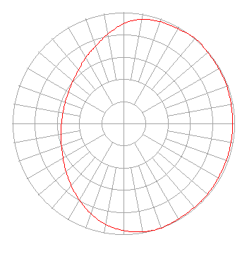
Directional Antenna
Antenna Make/Model: Nicom BKG-77-2-HW
Antenna ID: 120465
Polarization: H
| Primary Station |
| WAEB-FM |
Ch. 281 | Allentown, Pennsylvania |
|
Structure Information
Structure Registration Number 1031215
Structure Type: GTOWER
Registered To:
MARANATHA BROADCASTING COMPANY INC. Attention To: BARRY FISHER GM 300 EAST ROCK ROAD ALLENTOWN, PA 18103
Structure Address:
300 E Rock Rd
Allentown, PA
County Name: Lehigh County
ASR Issued: 01/03/2023
Date Built: 10/19/2022
Site Elevation: 284.4 m (933 ft.)
Structure Height: 185.4 m (608 ft.)
Height Overall: 203.6 m (668 ft.)
Overall Height AMSL: 488 m (1601 ft.)
FAA Determination: 09/29/2022
FAA Study #: 2022-AEA-15124-OE
FAA Circular #: 70/7460-1M
Paint & Light FAA Chapters: 3, 4, 5, 15
PRIOR STUDY 2018-AEA-9710-OE
40-33-52.0 N 75-26-24.0 W (NAD 83)
40-33-51.6 N 75-26-25.3 W
(Converted to NAD 27)
|
W293BW(FX) Licensee Information
Kevin M. Fitzgerald
P.O. Box 20155
Scranton, PA 18502
Phone: 570-750-1330
Sole Proprietor | 0000219948 Applicant Information
Kevin M Fitzgerald
Title: Sole Proprietor
Date: 08/28/2023
Application Certifier
Kevin M. Fitzgerald
Kevin M. Fitzgerald
P.O. Box 20155
Scranton, PA 18502
Applicant
Kevin M Fitzgerald
Kevin Fitzgerald Engineering
P.O. Box 20155
Scranton, PA 18502
Sole Proprietor and Chief Engineer
Kevin M Fitzgerald
Nyx Communications, Inc.
P.O. Box 20155
Scranton, PA 18502
|