|
K206EO Channel: 206D 89.1 MHz
Granite, Wyoming
Service: FX - A translator or application for a translator.
Facility ID: 155323
FRN: 0014711642
Fac. Service: FX
Programming Delivery Method: Unspecified
Status: LIC
Application Accepted: 01/03/2025
Application Granted: 01/10/2025
File Number: 0000262066
License Expires: 10/01/2029
Application Type: License To Cover
FCC Website Links:
LMS Facility Details
This Application
Other K206EO Applications
Including Superseded Applications
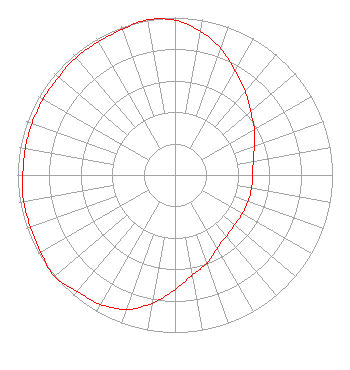
Service Contour - Open Street Map or USGS Map (60 dBu)
Service Contour - KML / Google Earth (60 dBu)
Facility Type: NON-COMMERCIAL EDUC. FM
Class: D, A Noncommercial educational operating with no more than 10W
Site Location: 41-06-02.0 N 105-01-31.0 W (NAD 83)
Site Location: 41-06-02.1 N 105-01-29.1 W (Converted to NAD 27)
Effective Radiated Power: 0.12 kW
Transmitter Output Power: 0.27 kW
Antenna Center AMSL: 2156 m (7073 ft.)
Antenna Center HAG: 73.3 m (240 ft.)
Site Elevation: 2082.7 m. (6833 ft.)
Height Overall*: 76.2 m (250 ft.)
(* As Filed In This Application, may differ from ASR Data, Below.)
Directional Antenna
Antenna Make/Model: Nicom BKG77/2L
Antenna ID: 0
Polarization: H
| Primary Station |
| KRKU(FM) |
Ch. 206 | Hillsdale, Wyoming |
|
Structure Information
Structure Registration Number 1009309
Structure Type: Registered To:
RF Towers, LLC
Structure Address:
11 Mi W
Cheyenne, WY
County Name: Laramie County
ASR Issued: 02/10/2024
Date Built: 01/01/1975
Site Elevation: 2082.7 m (6833 ft.)
Structure Height: 76.2 m (250 ft.)
Height Overall: 76.2 m (250 ft.)
Overall Height AMSL: 2158.9 m (7083 ft.)
FAA Determination: 11/12/1975
FAA Study #: 75-RM-378-OE
Paint & Light FAA Chapters: 1, 3, 11, 21
41-06-02.0 N 105-01-31.0 W (NAD 83)
41-06-02.1 N 105-01-29.1 W
(Converted to NAD 27)
|
K206EO(FX) Licensee Information
Cedar Cove Broadcasting, Inc.
1418 Bradley Ave.
Cheyenne, WY 82001
Phone: 307-772-1322
Not-for-Profit | 0000262066 Applicant Information
Victor A Michael, Jr.
Title: Sole Member/Technical Consultant
Date: 01/03/2025
Application Certifier
Mountain Community Translators, LLC
1418 Bradley Avenue
Cheyenne, WY 82001
Applicant
Victor A Michael, Jr.
Mountain Community Translators, LLC
1418 Bradley Avenue
Cheyenne, WY 82001
Sole Member
Victor A Michael, Jr.
Mountain Community Translators, LLC
1418 Bradley Avenue
Cheyenne, WY 82001
Technical Consultant
|