|
K299CA Channel: 299D 107.7 MHz
Kerrville, Texas
Service: FX - A translator or application for a translator.
Facility ID: 203201
FRN: 0026689042
Fac. Service: FX
Programming Delivery Method: Unspecified
Status: LIC
Application Accepted: 12/02/2019
Application Granted: 12/16/2019
File Number: 0000092456
License Expires: 08/01/2029
Application Type: License To Cover
FCC Website Links:
LMS Facility Details
This Application
Other K299CA Applications
Including Superseded Applications
Service Contour - Open Street Map or USGS Map (60 dBu)
Service Contour - KML / Google Earth (60 dBu)
Facility Type: FM STATION
Class: D, A Noncommercial educational operating with no more than 10W
Site Location: 30-03-52.1 N 99-08-17.3 W (NAD 83)
Site Location: 30-03-51.3 N 99-08-16.2 W (Converted to NAD 27)
Effective Radiated Power: 0.25 kW
Transmitter Output Power: 0.582 kW
Antenna Center AMSL: 633 m (2077 ft.)
Antenna Center HAG: 50 m (164 ft.)
Site Elevation: 583 m. (1913 ft.)
Height Overall*: 125 m (410 ft.)
(* As Filed In This Application, may differ from ASR Data, Below.)
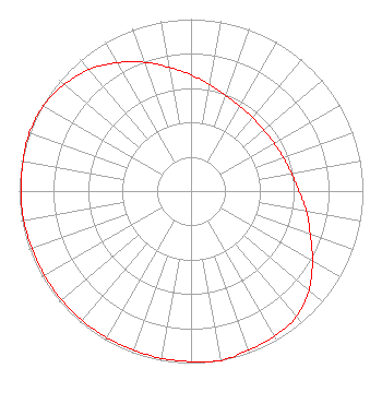
Directional Antenna
Antenna Make/Model: Nicom BKG77
Antenna ID: 132560
Polarization: H
| Primary Station |
| KERV(AM) |
Ch. 0 | Kerrville, Texas |
|
Structure Information
Structure Registration Number 1035252
Structure Type: GTOWER
Registered To:
SBA Towers II LLC
Structure Address:
1100 Edinburgh Drive (tx11752-a)
Kerrville, TX
County Name: Kerr County
ASR Issued: 09/14/2018
Date Built: 09/20/1997
Site Elevation: 583.1 m (1913 ft.)
Structure Height: 123.1 m (404 ft.)
Height Overall: 125 m (410 ft.)
Overall Height AMSL: 708.1 m (2323 ft.)
FAA Determination: 09/13/2018
FAA Study #: 2018-ASW-13265-OE
FAA Circular #: 70/7460-1L
Paint & Light FAA Chapters: 3, 4, 5, 12
PRIOR STUDY 2009-ASW-2793-OE
30-03-52.1 N 99-08-17.3 W (NAD 83)
30-03-51.3 N 99-08-16.2 W
(Converted to NAD 27)
|
K299CA(FX) Licensee Information
Jam Broadcasting, LLC
2125 Sidney Baker Street
Kerrville, TX 78028
Phone: 254-485-0555
Limited Liability Company | 0000092456 Applicant Information
Justin McClure
Title: Managing Member
Date: 12/02/2019
Application Certifier
Jam Broadcasting, LLC
Jam Broadcasting, LLC
2125 Sidney Baker Street
Kerrville, TX 78028
Applicant
Fred Hannel, PE
F. W. Hannel & Associates
10733 East Butherus Drive
Scottsdale, AZ 85255
Consulting Engineer
Fred Hannel, PE
F. W. Hannel & Associates
10733 East Butherus
Scottsdale, AZ 85255
Consulting Engineer
|