|
W270DS Channel: 270D 101.9 MHz
Concord, New Hampshire
Service: FX - A translator or application for a translator.
Facility ID: 202530
FRN: 0014336119
Fac. Service: FX
Programming Delivery Method: Unspecified
Status: LIC
Application Accepted: 10/25/2021
Application Granted: 11/09/2021
File Number: 0000164627
License Expires: 04/01/2030
Application Type: License To Cover
FCC Website Links:
LMS Facility Details
This Application
Other W270DS Applications
Including Superseded Applications
Service Contour - Open Street Map or USGS Map (60 dBu)
Service Contour - KML / Google Earth (60 dBu)
Facility Type: FM STATION
Class: D, A Noncommercial educational operating with no more than 10W
Site Location: 42-58-54.7 N 71-35-19.6 W (NAD 83)
Site Location: 42-58-54.4 N 71-35-21.3 W (Converted to NAD 27)
Effective Radiated Power: 0.065 kW
Transmitter Output Power: 0.135 kW
Antenna Center AMSL: 420 m (1378 ft.)
Antenna Center HAG: 30 m (98 ft.)
Site Elevation: 390 m. (1280 ft.)
Height Overall*: 74 m (243 ft.)
(* As Filed In This Application, may differ from ASR Data, Below.)
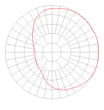
Directional Antenna
Antenna Make/Model: Propagation System Inc PSIFMT-1A-6DB
Antenna ID: 133784
Polarization: H
| Primary Station |
| WKXL(AM) |
Ch. 0 | Concord, New Hampshire |
|
Structure Information
Structure Registration Number 1048913
Structure Type: TOWER
Registered To:
Crown Atlantic Company, LLC
Structure Address:
Perimeter Road
Goffstown, NH
County Name: Hillsborough County
ASR Issued: 01/27/2026
Date Built: 12/16/1994
Site Elevation: 389.8 m (1279 ft.)
Structure Height: 61.3 m (201 ft.)
Height Overall: 74.4 m (244 ft.)
Overall Height AMSL: 464.2 m (1523 ft.)
FAA Determination: 06/03/2010
FAA Study #: 2010-ANE-417-OE
FAA Circular #: 70/7460-1K
Paint & Light FAA Chapters: 3, 4, 5, 12
PRIOR STUDY 2006-ANE-768-OE
42-58-54.7 N 71-35-19.5 W (NAD 83)
42-58-54.4 N 71-35-21.2 W
(Converted to NAD 27)
|
W270DS(FX) Licensee Information
New Hampshire Family Radio LLC
37 Redington Rd.
Concord, NH 03301
Phone: 603-540-7309
Limited Liability Company | 0000164627 Applicant Information
Gordon J. Humphrey
Title: Member
Date: 10/25/2021
Application Certifier
New Hampshire Family Radio LLC
New Hampshire Family Radio LLC
37 Redington Rd.
Concord, NH 03301
Applicant
Daniel R. Guy, Jr.
Daniel R. Guy Jr.
2 Brinton Drive
Nashua, NH 03064
Technical Consultant
Matthew H. McCormick
Fletcher, Heald & Hildreth, PLC
1300 North 17th Street
11th Floor
Arlington, VA 22209
Clifton G. Moor
Bromo Communications, Inc.
Bromo Communications, Inc.
3600 Dallas Hwy - Suite 230 - PMB 164
Marietta, GA 30064
Technical Consultant
|