|
W260AG Channel: 260D 99.9 MHz
Ishpeming, Michigan
Service: FX - A translator or application for a translator.
Facility ID: 20617
FRN: 0028476208
Fac. Service: FX
Programming Delivery Method: Unspecified
Status: LIC
Application Accepted: 07/29/2015
Application Granted: 08/14/2015
File Number: BLFT-20150729ABK
License Expires: 10/01/2028
Prefix Type: This is a license for a translator
Application Type: License To Cover
FCC Website Links:
LMS Facility Details
This Application
Other W260AG Applications
Including Superseded Applications
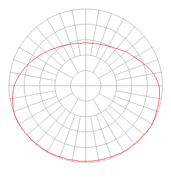
Service Contour - Open Street Map or USGS Map (60 dBu)
Service Contour - KML / Google Earth (60 dBu)
Class: D, A Noncommercial educational operating with no more than 10W
Site Location: 46-18-26.8 N 87-18-32.5 W (NAD 83)
Site Location: 46-18-27.0 N 87-18-32.0 W (Converted to NAD 27)
Effective Radiated Power: 0.25 kW
Transmitter Output Power: 0.395 kW
Antenna Center AMSL: 476 m (1562 ft.)
Antenna Center HAG: 105 m (344 ft.)
Site Elevation: 371 m. (1217 ft.)
Height Overall*: 117 m (384 ft.)
(* As Filed In This Application, may differ from ASR Data, Below.)
Directional Antenna
Antenna Make/Model: NIC BKG-77
Antenna ID: 121613
Polarization:
| Primary Station |
| WFXD(FM) |
Ch. 277 | Marquette, Michigan |
|
Structure Information
Structure Registration Number 1211768
Structure Type: TOWER
Registered To:
Tarpon Towers III, LLC
Structure Address:
456 City Rd.
Forsyth, MI
County Name: Marquette County
ASR Issued: 01/15/2025
Date Built: 06/01/2000
Site Elevation: 370.9 m (1217 ft.)
Structure Height: 110.9 m (364 ft.)
Height Overall: 117 m (384 ft.)
Overall Height AMSL: 487.9 m (1601 ft.)
FAA Determination: 01/06/2000
FAA Study #: 99-AGL-6582-OE
Paint & Light FAA Chapters: 1, 3, 12, 21
46-18-26.8 N 87-18-32.5 W (NAD 83)
46-18-27.0 N 87-18-32.0 W
(Converted to NAD 27)
|
W260AG(FX) Licensee Information
Mediabrew Communications Marquette LLC
1548 Broadway Street
Indianapolis, IN 46202
Phone: 312-498-9492
| 20150729ABK Applicant Information
Todd Noordyk
Date: 07/29/2015
Application Certifier
Great Lakes Radio, Inc.
3060 U.S. 41 West
Marquette, MI 49855
Applicant
Cary S. Tepper
4900 Auburn Avenue
Suite 100
Bethesda, MD 20814-2632
Communications Counsel
Cary S. Tepper
Tepper Law Firm, LLC
4900 Auburn Avenue
Suite 100
Bethesda, MD 20814-2632
|