FCCInfo.com
A Service of Cavell, Mertz & Associates, Inc.
(855) FCC-INFO
|
|
|
|
|
||||||||||||||||
|
|
WCZE Channel: 279C2 103.7 MHz Harbor Beach, Michigan Service: FM - A full-service FM station or application. Facility ID: 30944 FRN: 0009637778 Fac. Service: FM Status: LIC 73.215 Station Application Accepted: 04/21/2005 Application Granted: 03/26/2012 File Number: BLH-20050421ABP License Expires: 10/01/2028 Prefix Type: This is a license for a commercial FM station Application Type: License To Cover FCC Website Links: LMS Facility Details This Application Other WCZE Applications Including Superseded Applications Service Contour - Open Street Map or USGS Map (60 dBu) Service Contour - KML / Google Earth (60 dBu) Public Inspection Files Facility Type: FM STATION Class: C2, A Zone II station; with 25kW-50kW ERP and a class contour distance 39km-52km Site Location: 43-41-10.1 N 82-59-39.8 W (NAD 83) Site Location: 43-41-10.0 N 82-59-40.0 W (Converted to NAD 27) Effective Radiated Power: 43 kW Transmitter Output Power: 12.9 kW Antenna Center HAAT: 161 m (528 ft.) Antenna Center AMSL: 393 m (1289 ft.) Antenna Center HAG: 134 m (440 ft.) Calculated Site Elevation: 259 m. (850 ft.) Height Overall*: 137 m (449 ft.) (* As Filed In This Application, may differ from ASR Data, Below.) Directional Antenna Antenna Make/Model: ETC FM-4-DA, 4 section Antenna ID: 67872 Polarization: | ||||||||||||||||||
| Antenna Data for Antenna Id: 67872 WCZE FM File: BLH-20050421ABP ETC - FM-4-DA, 4 section Service: FM | |||||||||||||||||||
| Azimuth | Ratio | Azimuth | Ratio | Azimuth | Ratio | Azimuth | Ratio | ||||||||||||
| 0 | 1.000 | 10 | 1.000 | 20 | 1.000 | 30 | 1.000 | ||||||||||||
| 40 | 1.000 | 50 | 1.000 | 60 | 1.000 | 70 | 1.000 | ||||||||||||
| 80 | 1.000 | 90 | 1.000 | 100 | 1.000 | 110 | 1.000 | ||||||||||||
| 120 | 1.000 | 130 | 1.000 | 140 | 1.000 | 150 | 1.000 | ||||||||||||
| 160 | 0.891 | 170 | 0.708 | 180 | 0.591 | 190 | 0.591 | ||||||||||||
| 200 | 0.631 | 210 | 0.794 | 220 | 1.000 | 230 | 1.000 | ||||||||||||
| 240 | 0.964 | 250 | 0.964 | 260 | 1.000 | 270 | 1.000 | ||||||||||||
| 280 | 1.000 | 290 | 1.000 | 300 | 1.000 | 310 | 1.000 | ||||||||||||
| 320 | 1.000 | 330 | 1.000 | 340 | 1.000 | 350 | 1.000 | ||||||||||||
Structure Registration Number 1003453 
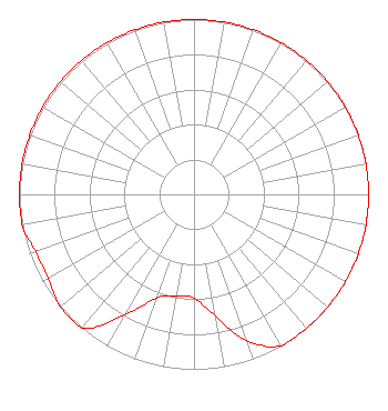
[ASR Heights Differ from WCZE Application] Structure Type: GTOWER Registered To: THUMB RADIO INC Structure Address: On S Bad Axe Rd 8 Mi S Bad Axe, MI County Name: Huron County ASR Issued: 06/06/2018 Date Built: 10/25/1995 Site Elevation: 258.4 m (848 ft.) Structure Height: 137.2 m (450 ft.) Height Overall: 137.2 m (450 ft.) Overall Height AMSL: 395.6 m (1298 ft.) FAA Determination: 01/27/2016 FAA Study #: 2015-AGL-17448-OE FAA Circular #: 70/7460-1H Paint & Light FAA Chapters: 4, 6, 13 OM&L to remain the same as prior study = 24-HR MED-STROBES 43-41-07.5 N 82-59-27.8 W (NAD 83) 43-41-07.4 N 82-59-28.0 W (Converted to NAD 27) |
3302 N Van Dyke Rd Imlay City, MI 48444 Phone: 810-895-2040 Trust | Date: 04/21/2005 Application Certifier Jennifer & Edward Czelada 3302 N. Van Dyke Rd. Imlay City, MI 48444 Applicant Edward T. Czelada 3302 N. Van Dyke Rd. Imlay City, MI 48444 Owner Jennifer & Edward Czelada Jennifer & Edward Czelada | |||||||||||||||||