
FCCInfo.com
A Service of Cavell, Mertz & Associates, Inc.
(855) FCC-INFO
|
|
W299DC from 07/13/2015 W299DC from 09/14/2004 |
|
|
||||||||||||||||
|
|
W299DC Channel: 299D 107.7 MHz Summersville, West Virginia Service: FX - A translator or application for a translator. Facility ID: 157429 Fac. Service: FX Programming Delivery Method: Unspecified Status: License Application Accepted: 04/19/2021 Application Granted: 05/18/2021 File Number: -0000143651 License Expires: 10/01/2027 Application Type: License To Cover FCC Website Links: LMS Facility Details This Application Other W299DC Applications Other W299DC Applications in CDBS Including Superseded Applications Mailing Address Correspondence for W299DC Correspondence related to application -0000143651 Service Contour - Open Street Map or USGS Map (60 dBu) Service Contour - KML / Google Earth (60 dBu) Facility Type: FM STATION Class: D, A Noncommercial educational operating with no more than 10W Site Location: 38-16-54.0 N 80-52-09.0 W (NAD 83) Site Location: 38-16-53.6 N 80-52-09.6 W (Converted to NAD 27) Effective Radiated Power: 0.25 kW Transmitter Output Power: 0.646 kW Antenna Center HAAT: 0 m Antenna Center AMSL: 807.67 m (2650 ft.) Antenna Center HAG: 36.57 m (120 ft.) Site Elevation: 771.1 m. (2530 ft.) Height Overall*: 57.9 m (190 ft.) (* As Filed In This Application, may differ from ASR Data, Below.) Directional Antenna Antenna Make/Model: NICOM BKG77/1 Antenna ID: 1005787 Polarization: H
| ||||||||||||||||||
| Antenna Data for Antenna Id: 1005787 W299DC FX File: -0000143651 NICOM - BKG77/1 Service: FX | 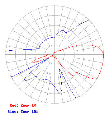 | ||||||||||||||||||
| Azimuth | Ratio | Azimuth | Ratio | Azimuth | Ratio | Azimuth | Ratio | ||||||||||||
| 0 | 0.035 | 10 | 0.045 | 20 | 0.052 | 30 | 0.052 | ||||||||||||
| 40 | 0.079 | 50 | 0.126 | 60 | 0.195 | 70 | 0.549 | ||||||||||||
| 80 | 0.881 | 90 | 1.000 | 100 | 1.000 | 110 | 1.000 | ||||||||||||
| 120 | 1.000 | 130 | 0.567 | 140 | 0.563 | 150 | 0.185 | ||||||||||||
| 160 | 0.035 | 170 | 0.078 | 180 | 0.066 | 190 | 0.055 | ||||||||||||
| 200 | 0.054 | 210 | 0.060 | 220 | 0.059 | 230 | 0.080 | ||||||||||||
| 240 | 0.038 | 250 | 0.472 | 260 | 0.193 | 270 | 0.129 | ||||||||||||
| 280 | 0.057 | 290 | 0.035 | 300 | 0.035 | 310 | 0.035 | ||||||||||||
| 320 | 0.035 | 330 | 0.035 | 340 | 0.035 | 350 | 0.035 | ||||||||||||
Structure Registration Number 1033615 Structure Type: Registered To: LLoyd Hoff Holding Corp. Structure Address: .9 Mi W Jct St Rt 39 & 41 Summersville, WV County Name: Nicholas County ASR Issued: 03/31/2022 Date Built: 08/15/1993 Site Elevation: 771.1 m (2530 ft.) Structure Height: 57.9 m (190 ft.) Height Overall: 57.9 m (190 ft.) Overall Height AMSL: 829.1 m (2720 ft.) FAA Determination: 12/23/1993 FAA Study #: 93-AEA-0728-OE FAA Circular #: 70/7460-1H Paint & Light FAA Chapters: 3, 4, 5, 13 Removed expiration and final dates from determination. Scenario 2./jjs/case#635066 38-16-54.0 N 80-52-09.0 W (NAD 83) 38-16-53.6 N 80-52-09.6 W (Converted to NAD 27) |
3038 Lansing Edmond Road Edmond, WV 25837 Phone: 304-222-5062 Limited Liability Company | Title: Member Date: 04/19/2021 Application Certifier ZACK MEDIA, LLC Zack Media, Llc 3038 Lansing Edmond Road Edmond, WV 25837 Applicant Robert Robbins Radio Data Services 20808 Sw 83 Ave Cutler Bay, FL 33189 CONSULTANT Tom Syner Zack Media, Llc 3038 Lansing Edmond Road Edmond, WV 25837 Member | |||||||||||||||||