
FCCInfo.com
A Service of Cavell, Mertz & Associates, Inc.
(855) FCC-INFO
|
|
W32DH-D from 04/10/2006 |
|
|
||||||||||||||||
|
|
Status: License Application Accepted: 11/22/2010 License Expires: 08/01/2023 File Number: BLDTL-20101122AHG Prefix Type: This is BLDTL FCC Website Links: LMS Facility Details This Application Other W32DH-D Applications Including Superseded Applications Mailing Address Correspondence for W32DH-D Correspondence related to application BLDTL-20101122AHG Service Contour - Open Street Map or USGS Map (51 dBu) Service Contour - KML / Google Earth (51 dBu) Rabbit Ears Info Search for W32DH-D Site Location: 42-02-16.0 N 80-03-43.0 W (NAD 83) Site Location: 42-02-15.8 N 80-03-43.8 W (Converted to NAD 27) ERP: 2.07 kW R/C AGL: 151.3 m (496 ft.) R/C AMSL: 561.6 m (1843 ft.) Emission Mask: Stringent Site Elevation: 410.3 m. (1346 ft.) Height Overall*: 228.4 m (749 ft.) (* As Filed In This Application, may differ from ASR Data, Below.) Directional Antenna - Antenna Make/Model: Jampro JA/LS-RB-8 Antenna ID: 19599 | ||||||||||||||||||
| Antenna Data for Antenna Id: 19599 W32DH-D LD File: BLDTL-20101122AHG Jampro - JA/LS-RB-8 Service: LD Standard Pattern: Y Pattern and Field Values Include a 130° Clockwise Rotation | 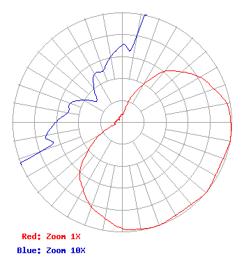 | ||||||||||||||||||
| Azimuth | Ratio | Azimuth | Ratio | Azimuth | Ratio | Azimuth | Ratio | ||||||||||||
| 0 | 0.070 | 10 | 0.080 | 20 | 0.230 | 30 | 0.400 | ||||||||||||
| 40 | 0.600 | 50 | 0.710 | 60 | 0.820 | 70 | 0.890 | ||||||||||||
| 80 | 0.970 | 90 | 0.990 | 100 | 1.000 | 110 | 0.980 | ||||||||||||
| 120 | 0.980 | 130 | 1.000 | 140 | 0.980 | 150 | 0.980 | ||||||||||||
| 160 | 1.000 | 170 | 0.990 | 180 | 0.970 | 190 | 0.890 | ||||||||||||
| 200 | 0.820 | 210 | 0.710 | 220 | 0.600 | 230 | 0.400 | ||||||||||||
| 240 | 0.230 | 250 | 0.080 | 260 | 0.070 | 270 | 0.060 | ||||||||||||
| 280 | 0.050 | 290 | 0.050 | 300 | 0.040 | 310 | 0.030 | ||||||||||||
| 320 | 0.040 | 330 | 0.050 | 340 | 0.050 | 350 | 0.060 | ||||||||||||
Structure Registration Number 1055828 Structure Type: GTOWER Registered To: Lilly Broadcasting of Pennsylvania, LLC Structure Address: 8631 Peach St Erie, PA County Name: Erie County ASR Issued: 10/15/2019 Date Built: 12/15/2019 Site Elevation: 410.3 m (1346 ft.) Structure Height: 213.3 m (700 ft.) Height Overall: 228.4 m (749 ft.) Overall Height AMSL: 638.7 m (2095 ft.) FAA Determination: 11/01/2018 FAA Study #: 2018-AEA-11826-OE FAA Circular #: 70/7460-1L Paint & Light FAA Chapters: 3, 4, 5, 12 PRIOR STUDY 1997-AEA-2234-OE 42-02-16.2 N 80-03-42.8 W (NAD 83) 42-02-16.0 N 80-03-43.6 W (Converted to NAD 27) |
Hurst, TX 76054 Phone: 214-770-7770 Corporation | Date: 11/22/2010 Application Certifier THREE ANGELS BROADCASTING NETWORK, INC. P O Box 220 West Frankfort, IL 62896-0220 Applicant DANIEL N. PEEK Po Box 220 West Frankfort, IL 62896-0220 ENGINEER MOSES PRIMO 3abn | |||||||||||||||||