
FCCInfo.com
A Service of Cavell, Mertz & Associates, Inc.
(855) FCC-INFO
|
|
DWBXV-LP from 06/01/2001 DWBXV-LP from 01/04/1989 |
|
|
||||||||||||||||
|
|
Status: License Application Accepted: 05/15/2019 License Expires: 08/01/2021 File Number: -0000072748 FCC Website Links: LMS Facility Details This Application Other DWBXV-LP Applications Including Superseded Applications Mailing Address Correspondence for DWBXV-LP Correspondence related to application -0000072748 Service Contour - Open Street Map or USGS Map (68 dBu) Service Contour - KML / Google Earth (68 dBu) Rabbit Ears Info Search for DWBXV-LP Site Location: 38-21-55.2 N 85-50-24.2 W (NAD 83) Site Location: 38-21-55.0 N 85-50-24.3 W (Converted to NAD 27) ERP: 0.75 kW R/C AGL: 76 m (249 ft.) R/C AMSL: 369.5 m (1212 ft.) Site Elevation: 293.5 m. (963 ft.) Height Overall*: 141.7 m (465 ft.) (* As Filed In This Application, may differ from ASR Data, Below.) Directional Antenna - Antenna Make/Model: Scala 2X HDCA-10-13 Antenna ID: 41536 | ||||||||||||||||||
| Antenna Data for Antenna Id: 41536 DWBXV-LP TX File: -0000072748 Scala - 2X HDCA-10-13 Service: TX Standard Pattern: Y Pattern and Field Values Include a 130° Clockwise Rotation | 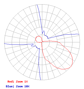 | ||||||||||||||||||
| Azimuth | Ratio | Azimuth | Ratio | Azimuth | Ratio | Azimuth | Ratio | ||||||||||||
| 0 | 0.030 | 10 | 0.030 | 20 | 0.020 | 30 | 0.020 | ||||||||||||
| 40 | 0.020 | 50 | 0.020 | 60 | 0.020 | 70 | 0.050 | ||||||||||||
| 80 | 0.140 | 90 | 0.430 | 100 | 0.560 | 110 | 0.780 | ||||||||||||
| 120 | 0.930 | 130 | 1.000 | 140 | 0.930 | 150 | 0.780 | ||||||||||||
| 160 | 0.560 | 170 | 0.430 | 180 | 0.140 | 190 | 0.050 | ||||||||||||
| 200 | 0.020 | 210 | 0.020 | 220 | 0.020 | 230 | 0.020 | ||||||||||||
| 240 | 0.020 | 250 | 0.030 | 260 | 0.030 | 270 | 0.120 | ||||||||||||
| 280 | 0.150 | 290 | 0.180 | 300 | 0.190 | 310 | 0.200 | ||||||||||||
| 320 | 0.190 | 330 | 0.180 | 340 | 0.150 | 350 | 0.120 | ||||||||||||
Structure Registration Number 1028414 Structure Type: GTOWER Registered To: SBA GC Towers, LLC Structure Address: 6301 Moser Knob Road (in15895-a) New Albany, IN County Name: Floyd County ASR Issued: 05/30/2014 Date Built: 01/25/1996 Site Elevation: 293.5 m (963 ft.) Structure Height: 140.2 m (460 ft.) Height Overall: 141.7 m (465 ft.) Overall Height AMSL: 435.2 m (1428 ft.) FAA Determination: 05/29/2014 FAA Study #: 2014-AGL-4865-OE FAA Circular #: 70/7460-1H Paint & Light FAA Chapters: 3, 4, 5, 13 PRIOR STUDY 1995-AGL-2146-OE 38-21-55.2 N 85-50-24.2 W (NAD 83) 38-21-55.0 N 85-50-24.3 W (Converted to NAD 27) |
200 South Wacker Suite 2450 Chicago, IL 60606 Phone: 612-202-4980 Limited Liability Company | Title: Manager Date: 05/15/2019 Application Certifier L4 Media Group, LLC L4 Media Group, Llc 200 South Wacker Suite 2450 Chicago, IL 60606 Applicant Davina Sashkin, Esq. Fletcher, Heald And Hildreth, Plc 1300 North 17th Street 11th Floor Arlington, VA 22209 Partner James Gallagher James Gallagher, Inc. 2398 Commercial Way Suite 226s Spring Hill, FL 34606 Consultant | |||||||||||||||||