
FCCInfo.com
A Service of Cavell, Mertz & Associates, Inc.
(855) FCC-INFO
|
|
K21OW-D from 09/30/1980 |
|
|
||||||||||||||||
|
|
Status: License Application Accepted: 02/22/2021 License Expires: 10/03/2022 File Number: -0000136690 FCC Website Links: LMS Facility Details This Application Other K21OW-D Applications Including Superseded Applications Mailing Address Correspondence for K21OW-D Correspondence related to application -0000136690 Service Contour - Open Street Map or USGS Map (51 dBu) Service Contour - KML / Google Earth (51 dBu) Rabbit Ears Info Search for K21OW-D Site Location: 32-19-40.2 N 108-43-36.8 W (NAD 83) Site Location: 32-19-39.9 N 108-43-34.6 W (Converted to NAD 27) ERP: 0.32 kW Polarization: Horizontally polarized R/C AGL: 14.3 m (47 ft.) R/C AMSL: 1382.2 m (4535 ft.) Emission Mask: Stringent Site Elevation: 1367.9 m. (4488 ft.) Height Overall*: 15.2 m (50 ft.) (* As Filed In This Application, may differ from ASR Data, Below.) Directional Antenna - Antenna Make/Model: Scala 4DR-4-2HW Antenna ID: 20741 Polarization: Horizontally polarized
| ||||||||||||||||||
| Antenna Data for Antenna Id: 20741 K21OW-D LD File: -0000136690 Scala - 4DR-4-2HW Service: LD Standard Pattern: Y Pattern and Field Values Include a 45° Clockwise Rotation | 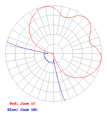 | ||||||||||||||||||
| Azimuth | Ratio | Azimuth | Ratio | Azimuth | Ratio | Azimuth | Ratio | ||||||||||||
| 5 | 0.895 | 15 | 0.784 | 25 | 0.827 | 35 | 0.955 | ||||||||||||
| 45 | 1.000 | 55 | 0.945 | 65 | 0.830 | 75 | 0.795 | ||||||||||||
| 85 | 0.925 | 95 | 0.995 | 105 | 0.975 | 115 | 0.920 | ||||||||||||
| 125 | 0.835 | 135 | 0.715 | 145 | 0.580 | 155 | 0.410 | ||||||||||||
| 165 | 0.135 | 175 | 0.020 | 185 | 0.020 | 195 | 0.020 | ||||||||||||
| 205 | 0.020 | 215 | 0.020 | 225 | 0.020 | 235 | 0.020 | ||||||||||||
| 245 | 0.020 | 255 | 0.020 | 265 | 0.020 | 275 | 0.020 | ||||||||||||
| 285 | 0.130 | 295 | 0.395 | 305 | 0.560 | 315 | 0.710 | ||||||||||||
| 325 | 0.825 | 335 | 0.915 | 345 | 0.975 | 355 | 0.983 | ||||||||||||
Structure Registration Number 1267959 Structure Type: TOWER Registered To: Nexstar Media Inc. Structure Address: 1.89 Miles Southwest Of The Reference Coordinates For Lordsburg, Nm Lordsburg, NM County Name: Hidalgo County ASR Issued: 05/28/2021 Date Built: 12/10/2013 Site Elevation: 1367.9 m (4488 ft.) Structure Height: 14.2 m (47 ft.) Height Overall: 15.2 m (50 ft.) Overall Height AMSL: 1383.1 m (4538 ft.) FAA Determination: 10/01/2007 FAA Study #: 2007-ASW-6644-OE Paint & Light FAA Chapters: NONE PRIOR STUDY 2007-ASW-4336-OE 32-19-40.2 N 108-43-36.8 W (NAD 83) 32-19-39.9 N 108-43-34.6 W (Converted to NAD 27) |
Krwg Tv, Msc Tv22, Milton Hall, Room 100 Las Cruces, NM 88003 Phone: 575-646-2222 Government Entity | Title: Associate Vice President For Marketing And Communications Date: 02/22/2021 Application Certifier Regents Of New Mexico State University P.o.box 3001 Dept.tv22 Las Cruces, NM 88003 Applicant Barry S. Persh Gray Miller Persh Llp 2233 Wisconsin Ave., Nw Suite 226 Washington, DC 20007 | |||||||||||||||||