
FCCInfo.com
A Service of Cavell, Mertz & Associates, Inc.
(855) FCC-INFO
|
|
K25NK-D from 10/26/1999 K25NK-D from 09/27/1995 |
|
|
||||||||||||||||
|
|
Status: License Application Accepted: 06/29/2021 License Expires: 04/01/2022 File Number: -0000151246 FCC Website Links: LMS Facility Details This Application Other K25NK-D Applications Including Superseded Applications Mailing Address Correspondence for K25NK-D Correspondence related to application -0000151246 Service Contour - Open Street Map or USGS Map (51 dBu) Service Contour - KML / Google Earth (51 dBu) Rabbit Ears Info Search for K25NK-D Site Location: 44-02-28.1 N 92-20-25.5 W (NAD 83) Site Location: 44-02-28.2 N 92-20-24.9 W (Converted to NAD 27) ERP: 15 kW Polarization: Horizontally polarized R/C AGL: 211.5 m (694 ft.) R/C AMSL: 592.8 m (1945 ft.) Emission Mask: Full Service Site Elevation: 381.3 m. (1251 ft.) Height Overall*: 302.7 m (993 ft.) (* As Filed In This Application, may differ from ASR Data, Below.) Directional Antenna - Antenna Make/Model: Jampro JA/LS-RB-8 Antenna ID: 19599 Polarization: Horizontally polarized | ||||||||||||||||||
| Antenna Data for Antenna Id: 19599 K25NK-D LD File: -0000151246 Jampro - JA/LS-RB-8 Service: LD Standard Pattern: Y Pattern and Field Values Include a 240° Clockwise Rotation | 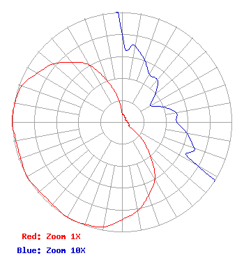 | ||||||||||||||||||
| Azimuth | Ratio | Azimuth | Ratio | Azimuth | Ratio | Azimuth | Ratio | ||||||||||||
| 0 | 0.080 | 10 | 0.070 | 20 | 0.060 | 30 | 0.050 | ||||||||||||
| 40 | 0.050 | 50 | 0.040 | 60 | 0.030 | 70 | 0.040 | ||||||||||||
| 80 | 0.050 | 90 | 0.050 | 100 | 0.060 | 110 | 0.070 | ||||||||||||
| 120 | 0.080 | 130 | 0.230 | 140 | 0.400 | 150 | 0.600 | ||||||||||||
| 160 | 0.710 | 170 | 0.820 | 180 | 0.890 | 190 | 0.970 | ||||||||||||
| 200 | 0.990 | 210 | 1.000 | 220 | 0.980 | 230 | 0.980 | ||||||||||||
| 240 | 1.000 | 250 | 0.980 | 260 | 0.980 | 270 | 1.000 | ||||||||||||
| 280 | 0.990 | 290 | 0.970 | 300 | 0.890 | 310 | 0.820 | ||||||||||||
| 320 | 0.710 | 330 | 0.600 | 340 | 0.400 | 350 | 0.230 | ||||||||||||
Structure Registration Number 1029133 [ASR Heights Differ from K25NK-D Application] Structure Type: GTOWER Registered To: SBA Towers IX, LLC Structure Address: 2003 70th Ave Ne Cr 119 (mn22234-a) Rochester, MN County Name: Olmsted County ASR Issued: 06/29/2021 Date Built: 01/01/1986 Site Elevation: 381.3 m (1251 ft.) Structure Height: 301.8 m (990 ft.) Height Overall: 303.6 m (996 ft.) Overall Height AMSL: 684.9 m (2247 ft.) FAA Determination: 04/30/2021 FAA Study #: 2021-AGL-10550-OE FAA Circular #: 70/7460-1L Paint & Light FAA Chapters: 4, 9, 12 PRIOR STUDY 2017-AGL-21459-OE 44-02-28.1 N 92-20-25.5 W (NAD 83) 44-02-28.2 N 92-20-24.9 W (Converted to NAD 27) |
West Frankfort, IL 62896 Phone: 618-627-4651 Not-for-Profit | Title: President Date: 06/29/2021 Application Certifier THREE ANGELS BROADCASTING NETWORK, INC. Three Angels Broadcasting Network, Inc. West Frankfort, IL 62896 Applicant DANIEL N. PEEK 3abn Po Box 220 West Frankfort, IL 62896 ENGINEER MOSES PRIMO 3abn West Frankfort, IL 62896 DIRECTOR OF BROADCASTING OPERATIONS AND ENGINEERING | |||||||||||||||||