|
| KXNE-TV Service: DT - Digital TV | | Channel: 19 Zone: 2 |
| Norfolk, Nebraska |
| Nielsen DMA™: Sioux City |
| Network: PBS |
| Virtual Channel: 19 |
| DTV TSID: 1957 |
| Facility ID: 47995 | | FRN: 0002385441 |
Status: LIC
Application Accepted: 06/30/2021
License Expires: 06/01/2030
File Number: 0000151288
FCC Website Links:
LMS Facility Details
This Application
Other KXNE-TV Applications
Including Superseded Applications
Service Contour - Open Street Map or USGS Map (41 dBu)
Service Contour - KML / Google Earth (41 dBu)
Public Inspection Files
Rabbit Ears Info Search for KXNE-TV
Site Location: 42-14-15.0 N 97-16-42.0 W (NAD 83)
Site Location: 42-14-15.0 N 97-16-40.8 W (Converted to NAD 27)
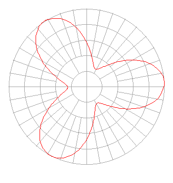
ERP: 525 kW
Polarization: Horizontally polarized
HAAT: 323.2 m (1060 ft.)
Electrical Beam Tilt: 0.75 degrees
R/C AGL: 297 m (974 ft.)
R/C AMSL: 841.4 m (2760 ft.)
Site Elevation: 544.4 m. (1786 ft.)
Height Overall*: 308.7 m (1013 ft.)
(* As Filed In This Application, may differ from ASR Data, Below.)
Directional Antenna - Antenna Make/Model: Andrew ATW33H4-HTT2-19S
Antenna ID: 89243
Polarization: Horizontally polarized
| Associated Translators |
| K34IB-D |
Ch. 34 | Decatur, Nebraska |
| K27NI-D |
Ch. 27 | Neligh, Nebraska |
| K14MI-D |
Ch. 14 | Niobrara, Nebraska |
| K10JW-D |
Ch. 10 | Verdigre, Nebraska |
|
Structure Information
Structure Registration Number 1027164
Structure Type: TOWER
Registered To:
NEBRASKA EDUCATIONAL TELECOMMUNICATION COMMISSION
Structure Address:
5 Mi Sw
Carroll, NE
County Name: Wayne County
ASR Issued: 07/16/2003
Date Built: 07/21/2003
Site Elevation: 544.4 m (1786 ft.)
Structure Height: 285.9 m (938 ft.)
Height Overall: 308.7 m (1013 ft.)
Overall Height AMSL: 853.1 m (2799 ft.)
FAA Determination: 10/20/1997
FAA Study #: 97-ACE-1266-OE
FAA Circular #: 70/7460-1J
Paint & Light FAA Chapters: 4, 7, 13
42-14-15.0 N 97-16-42.0 W (NAD 83)
42-14-15.0 N 97-16-40.8 W
(Converted to NAD 27)
|
KXNE-TV Licensee Information
Nebraska Educational Telecommunications Commission
1800 N. 33rd Street
Lincoln, NE 68503
Phone: 402-472-9333
Government Entity | 0000151288 Applicant Information
Ling Ling Sun
Title: Cto
Date: 06/30/2021
Application Certifier
Nebraska Educational Telecommunications Commission
1800 N. 33rd Street
Lincoln, NE 68503
Applicant
Barry S. Persh
Gray Miller Persh LLP
2233 Wisconsin Ave., NW
Suite 226
Washington, DC 20007
Matthew Sperling
Nebraska Educational Telecommunications Commission
1800 N. 33rd Street
Lincoln, NE 68503
Systems Engineer
Douglas Lee Vernier
Doug Vernier, Telecommunications Consultants LLC
8893 Lakes Blvd
West Palm Beach, FL 33412
Engineering Consultant
|