
FCCInfo.com
A Service of Cavell, Mertz & Associates, Inc.
(855) FCC-INFO
|
|
W18ET-D from 02/28/2012 W18ET-D from 08/17/1990 |
|
|
||||||||||||||||
|
|
Status: License Application Accepted: 02/12/2021 License Expires: 04/01/2021 File Number: -0000136285 FCC Website Links: LMS Facility Details This Application Other W18ET-D Applications Including Superseded Applications Mailing Address Correspondence for W18ET-D Correspondence related to application -0000136285 Service Contour - Open Street Map or USGS Map (51 dBu) Service Contour - KML / Google Earth (51 dBu) Rabbit Ears Info Search for W18ET-D Site Location: 33-27-37.0 N 86-51-07.0 W (NAD 83) Site Location: 33-27-36.6 N 86-51-07.0 W (Converted to NAD 27) ERP: 15 kW Polarization: Elliptically polarized R/C AGL: 106 m (348 ft.) R/C AMSL: 392.5 m (1288 ft.) Emission Mask: Full Service Site Elevation: 286.5 m. (940 ft.) Height Overall*: 216.1 m (709 ft.) (* As Filed In This Application, may differ from ASR Data, Below.) Directional Antenna - Antenna Make/Model: MCX CS-2030-G-16 E/P Antenna ID: 1007866 Polarization: Elliptically polarized | ||||||||||||||||||
| Antenna Data for Antenna Id: 1007866 W18ET-D LD File: -0000136285 MCX - CS-2030-G-16 E/P Service: LD Standard Pattern: N Pattern and Field Values Include a 142° Clockwise Rotation | 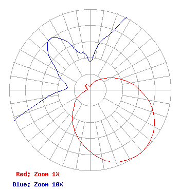 | ||||||||||||||||||
| Azimuth | Ratio | Azimuth | Ratio | Azimuth | Ratio | Azimuth | Ratio | ||||||||||||
| 2 | 0.035 | 12 | 0.060 | 22 | 0.080 | 32 | 0.130 | ||||||||||||
| 42 | 0.170 | 52 | 0.230 | 62 | 0.315 | 72 | 0.415 | ||||||||||||
| 82 | 0.530 | 92 | 0.635 | 102 | 0.755 | 112 | 0.850 | ||||||||||||
| 122 | 0.930 | 132 | 0.980 | 142 | 1.000 | 152 | 0.980 | ||||||||||||
| 162 | 0.940 | 172 | 0.850 | 182 | 0.740 | 192 | 0.635 | ||||||||||||
| 202 | 0.525 | 212 | 0.410 | 222 | 0.300 | 232 | 0.230 | ||||||||||||
| 242 | 0.150 | 252 | 0.080 | 262 | 0.050 | 272 | 0.030 | ||||||||||||
| 282 | 0.030 | 292 | 0.040 | 302 | 0.050 | 312 | 0.070 | ||||||||||||
| 322 | 0.080 | 332 | 0.070 | 342 | 0.050 | 352 | 0.045 | ||||||||||||
Structure Registration Number 1035176 Structure Type: TOWER Registered To: WTTO, INC Structure Address: 1631 Spaulding Ishkooda Road Birmingham, AL County Name: Jefferson County ASR Issued: 12/08/1997 Date Built: 12/01/1995 Site Elevation: 286.5 m (940 ft.) Structure Height: 202.4 m (664 ft.) Height Overall: 216.1 m (709 ft.) Overall Height AMSL: 502.6 m (1649 ft.) FAA Determination: 10/03/1985 FAA Study #: 85-ASO-1343-OE Paint & Light FAA Chapters: 1, 3, 5, 14, 21 RED LIGHTS/PAINT 33-27-37.0 N 86-51-07.0 W (NAD 83) 33-27-36.6 N 86-51-07.0 W (Converted to NAD 27) |
Ventana Television 1 Hsn Drive Saint Petersburg, FL 33729 Phone: 727-872-4210 Corporation | Title: Assistant Secretary Date: 02/12/2021 Application Certifier HSN/Ventana Television Inc. Ventana Television, Inc. Ventana Television 1 Hsn Drive Saint Petersburg, FL 33729 Applicant JOHN COLLINSON Ventana Television, Inc. 1 Hsn Drive Saint Petersburg, FL 33729 CERTIFYING ENGINEER Gregg P Skall, Esq. Telecommunications Law Professionals 1025 Connecticut Ave Nw Suite 1011 Washington, DC 20036 Legal Counsel ERIC YONKIN Ventana Television, Inc. 1 Hsn Drive Saint Petersburg, FL 33729 LEGAL REPRESENTATIVE | |||||||||||||||||