
FCCInfo.com
A Service of Cavell, Mertz & Associates, Inc.
(855) FCC-INFO
|
|
K11XQ-D from 03/11/2020 |
|
|
||||||||||||||||
|
|
Status: Application Application Accepted: 10/07/2022 License Expires: 12/01/2028 File Number: -0000202057 FCC Website Links: LMS Facility Details This Application Other W11DR-D Applications Including Superseded Applications Mailing Address Correspondence for W11DR-D Correspondence related to application -0000202057 Service Contour - Open Street Map or USGS Map (48 dBu) Service Contour - KML / Google Earth (48 dBu) Rabbit Ears Info Search for W11DR-D Site Location: 34-19-12.8 N 78-17-11.0 W (NAD 83) Site Location: 34-19-12.2 N 78-17-12.0 W (Converted to NAD 27) ERP: 3 kW Polarization: Elliptically polarized R/C AGL: 39.4 m (129 ft.) R/C AMSL: 57.9 m (190 ft.) Emission Mask: Simple Site Elevation: 18.5 m. (61 ft.) Height Overall*: 93.2 m (306 ft.) (* As Filed In This Application, may differ from ASR Data, Below.) Directional Antenna - Antenna Make/Model: Kathrein CL-713 Antenna ID: 1000525 Polarization: Elliptically polarized | ||||||||||||||||||
| Antenna Data for Antenna Id: 1000525 W11DR-D LD File: -0000202057 Kathrein - CL-713 Service: LD Standard Pattern: Y Pattern and Field Values Include a 140° Clockwise Rotation | 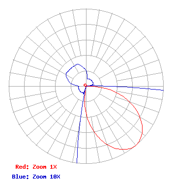 | ||||||||||||||||||
| Azimuth | Ratio | Azimuth | Ratio | Azimuth | Ratio | Azimuth | Ratio | ||||||||||||
| 0 | 0.020 | 10 | 0.010 | 20 | 0.010 | 30 | 0.010 | ||||||||||||
| 40 | 0.010 | 50 | 0.010 | 60 | 0.010 | 70 | 0.010 | ||||||||||||
| 80 | 0.010 | 90 | 0.030 | 100 | 0.352 | 110 | 0.598 | ||||||||||||
| 120 | 0.805 | 130 | 0.945 | 140 | 1.000 | 150 | 0.945 | ||||||||||||
| 160 | 0.805 | 170 | 0.598 | 180 | 0.352 | 190 | 0.030 | ||||||||||||
| 200 | 0.010 | 210 | 0.010 | 220 | 0.010 | 230 | 0.010 | ||||||||||||
| 240 | 0.010 | 250 | 0.010 | 260 | 0.010 | 270 | 0.010 | ||||||||||||
| 280 | 0.020 | 290 | 0.025 | 300 | 0.030 | 310 | 0.030 | ||||||||||||
| 320 | 0.030 | 330 | 0.030 | 340 | 0.030 | 350 | 0.025 | ||||||||||||
Structure Registration Number 1054084 Structure Type: TOWER Registered To: American Towers LLC Structure Address: 201 Gen. Howe Hwy (hwy 11) (021281) Bolton, NC County Name: Columbus County ASR Issued: 06/24/2016 Date Built: 09/30/2003 Site Elevation: 18.5 m (61 ft.) Structure Height: 92 m (302 ft.) Height Overall: 93.2 m (306 ft.) Overall Height AMSL: 111.7 m (366 ft.) FAA Determination: 09/24/2003 FAA Study #: 2003-ASO-4547-OE FAA Circular #: 70/7460-1J Paint & Light FAA Chapters: 4, 5, 6, 8, 13 PRIOR STUDY 1998-ASO-3973-OE 34-19-12.8 N 78-17-11.0 W (NAD 83) 34-19-12.2 N 78-17-12.0 W (Converted to NAD 27) |
Hurst, TX 76054 Phone: 972-291-3750 Limited Liability Company | Title: Member/manager Date: 10/07/2022 Application Certifier EICB-TV EAST, LLC Eicb-tv East, Llc Hurst, TX 76054 Applicant Susan Hansen B. W. St. Clair 2305 Vida Shaw Rd New Iberia, LA 70563 CONSULTANT Ari Meltzer Wiley Rein Llp 2050 M Street Nw Washington, DC 20036 Caleb Weiss Ark Multicasting, Inc. Cedar Hill, TX 75106 President Josh Weiss Ark Multicasting, Inc. Cedar Hill, TX 75106 CEO Randy Weiss Eicb-tv East, Llc Hurst, TX 76054 Member/Manager | |||||||||||||||||