
FCCInfo.com
A Service of Cavell, Mertz & Associates, Inc.
(855) FCC-INFO
|
|
K35MZ-D from 02/06/2013 K35MZ-D from 01/29/1992 |
|
|
||||||||||||||||
|
|
Status: Construction Permit Application Accepted: 08/14/2023 K35MZ-D CP Expires: 08/15/2026 File Number: -0000219297 FCC Website Links: LMS Facility Details This Application Other K35MZ-D Applications Including Superseded Applications Mailing Address Correspondence for K35MZ-D Correspondence related to application -0000219297 Service Contour - Open Street Map or USGS Map (51 dBu) Service Contour - KML / Google Earth (51 dBu) Rabbit Ears Info Search for K35MZ-D Site Location: 37-46-55.8 N 103-26-28.8 W (NAD 83) Site Location: 37-46-55.8 N 103-26-27.0 W (Converted to NAD 27) ERP: 6 kW Polarization: Horizontally polarized R/C AGL: 30 m (98 ft.) R/C AMSL: 1388.4 m (4555 ft.) Emission Mask: Stringent Site Elevation: 1358.4 m. (4457 ft.) Height Overall*: 60.9 m (200 ft.) (* As Filed In This Application, may differ from ASR Data, Below.) Directional Antenna - Antenna Make/Model: Scala PRTV array Antenna ID: 1010988 Polarization: Horizontally polarized
| ||||||||||||||||||
| Antenna Data for Antenna Id: 1010988 K35MZ-D LD File: -0000219297 Scala - PRTV array Service: LD Standard Pattern: N | 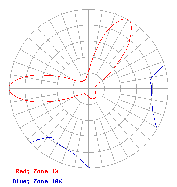 | ||||||||||||||||||
| Azimuth | Ratio | Azimuth | Ratio | Azimuth | Ratio | Azimuth | Ratio | ||||||||||||
| 0 | 0.209 | 10 | 0.460 | 20 | 0.820 | 30 | 1.000 | ||||||||||||
| 40 | 0.819 | 50 | 0.463 | 60 | 0.197 | 70 | 0.114 | ||||||||||||
| 80 | 0.081 | 90 | 0.079 | 100 | 0.081 | 110 | 0.086 | ||||||||||||
| 120 | 0.099 | 130 | 0.123 | 140 | 0.136 | 150 | 0.140 | ||||||||||||
| 160 | 0.136 | 170 | 0.123 | 180 | 0.099 | 190 | 0.086 | ||||||||||||
| 200 | 0.081 | 210 | 0.079 | 220 | 0.081 | 230 | 0.114 | ||||||||||||
| 240 | 0.197 | 250 | 0.463 | 260 | 0.819 | 270 | 1.000 | ||||||||||||
| 280 | 0.820 | 290 | 0.460 | 300 | 0.209 | 310 | 0.140 | ||||||||||||
| 320 | 0.112 | 330 | 0.112 | 340 | 0.112 | 350 | 0.140 | ||||||||||||
Structure Registration Number 1282391 Structure Type: TOWER Registered To: Industrial Tower and Wireless, LLC Structure Address: 10338 Highway 109 La Junta (higbee), CO County Name: Otero County ASR Issued: 01/20/2012 Date Built: 01/26/2012 Site Elevation: 1358.4 m (4457 ft.) Structure Height: 59.4 m (195 ft.) Height Overall: 60.9 m (200 ft.) Overall Height AMSL: 1419.3 m (4656 ft.) FAA Determination: 01/13/2011 FAA Study #: 2010-ANM-2447-OE Paint & Light FAA Chapters: NONE Removed expiration date from determination. Scenario 1./jjs/case#635066 37-46-55.8 N 103-26-28.8 W (NAD 83) 37-46-55.8 N 103-26-27.0 W (Converted to NAD 27) |
Po Box 1471 29833 Ruby Ranch Road Evergreen, CO 80439 Phone: 907-227-9195 Limited Liability Company | Title: Manager Date: 08/14/2023 Application Certifier Denver Digital Television, Llc Po Box 1471 29833 Ruby Ranch Road Evergreen, CO 80439 Applicant Erik C Swanson, PE Hatfield & Dawson 9500 Greenwood Ave N Seattle, WA 98103 Consulting Engineer James Talens Denver Digital Television, Llc 6017 Woodley Road Mclean, VA 22101 Attorney | |||||||||||||||||