
FCCInfo.com
A Service of Cavell, Mertz & Associates, Inc.
(855) FCC-INFO
|
|
KCPM-LP from 03/12/2014 KCPM-LP from 05/15/1998 KCPM-LP from 06/24/1996 |
|
|
||||||||||||||||
|
|
Status: License Application Accepted: 02/07/2002 License Expires: 04/01/2014 File Number: BLTVL-20020207AAQ Prefix Type: This is a license for a VHF LPTV station FCC Website Links: LMS Facility Details This Application Other KCPM-LP Applications Including Superseded Applications Mailing Address Correspondence for KCPM-LP Correspondence related to application BLTVL-20020207AAQ Service Contour - Open Street Map or USGS Map (62 dBu) Service Contour - KML / Google Earth (62 dBu) Rabbit Ears Info Search for KCPM-LP Site Location: 46-51-39.0 N 96-51-17.0 W (NAD 83) Site Location: 46-51-39.1 N 96-51-15.7 W (Converted to NAD 27) ERP: 1.13 kW R/C AGL: 61 m (200 ft.) R/C AMSL: 337 m (1106 ft.) Site Elevation: 276 m. (906 ft.) Height Overall*: 62 m (203 ft.) (* As Filed In This Application, may differ from ASR Data, Below.) Directional Antenna - Antenna Make/Model: Scala CL-24 Antenna ID: 20780 | ||||||||||||||||||
| Antenna Data for Antenna Id: 20780 KCPM-LP TX File: BLTVL-20020207AAQ Scala - CL-24 Service: TX Standard Pattern: Y Pattern and Field Values Include a 90° Clockwise Rotation | 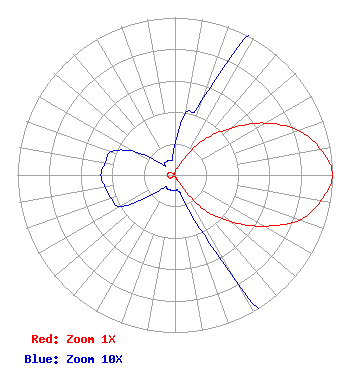 | ||||||||||||||||||
| Azimuth | Ratio | Azimuth | Ratio | Azimuth | Ratio | Azimuth | Ratio | ||||||||||||
| 0 | 0.020 | 10 | 0.040 | 20 | 0.050 | 30 | 0.130 | ||||||||||||
| 40 | 0.300 | 50 | 0.460 | 60 | 0.660 | 70 | 0.830 | ||||||||||||
| 80 | 0.940 | 90 | 1.000 | 100 | 0.940 | 110 | 0.840 | ||||||||||||
| 120 | 0.650 | 130 | 0.460 | 140 | 0.290 | 150 | 0.080 | ||||||||||||
| 160 | 0.020 | 170 | 0.010 | 180 | 0.010 | 190 | 0.010 | ||||||||||||
| 200 | 0.010 | 210 | 0.010 | 220 | 0.010 | 230 | 0.020 | ||||||||||||
| 240 | 0.040 | 250 | 0.043 | 260 | 0.045 | 270 | 0.047 | ||||||||||||
| 280 | 0.045 | 290 | 0.043 | 300 | 0.030 | 310 | 0.010 | ||||||||||||
| 320 | 0.010 | 330 | 0.010 | 340 | 0.010 | 350 | 0.010 | ||||||||||||
Structure Registration Number 1038733 [ASR Heights Differ from KCPM-LP Application] Structure Type: TOWER Registered To: Catamount Broadcasting of Fargo LLC Structure Address: 4302 13th Ave Sw Fargo, ND County Name: Cass County ASR Issued: 10/14/2004 Date Built: 07/01/1983 Site Elevation: 275.5 m (904 ft.) Structure Height: 61 m (200 ft.) Height Overall: 61.9 m (203 ft.) Overall Height AMSL: 337.4 m (1107 ft.) FAA Determination: 01/12/1998 FAA Study #: 97-AGL-5561-OE FAA Circular #: 70/7460-1J Paint & Light FAA Chapters: 3, 4, 5, 13 46-51-39.0 N 96-51-17.0 W (NAD 83) 46-51-39.1 N 96-51-15.7 W (Converted to NAD 27) |
Sioux Falls, SD 57109 Phone: 605-254-7600 Corporation | Date: 02/07/2002 Application Certifier G.I.G., INC. P.o. Box 88336 Sioux Falls, SD 57109 Applicant SAME ROBERT W. HEALY | |||||||||||||||||